
https://www.sacbee.com/news/business/article247929860.html
More push-back from grassroots groups is on the way against the government’s killing machine, as the government again finds itself in federal district court trying to explain its serial lawbreaking. This scorched earth program attacks the public forest just West of Yellowstone National Park’s western boundary.
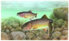
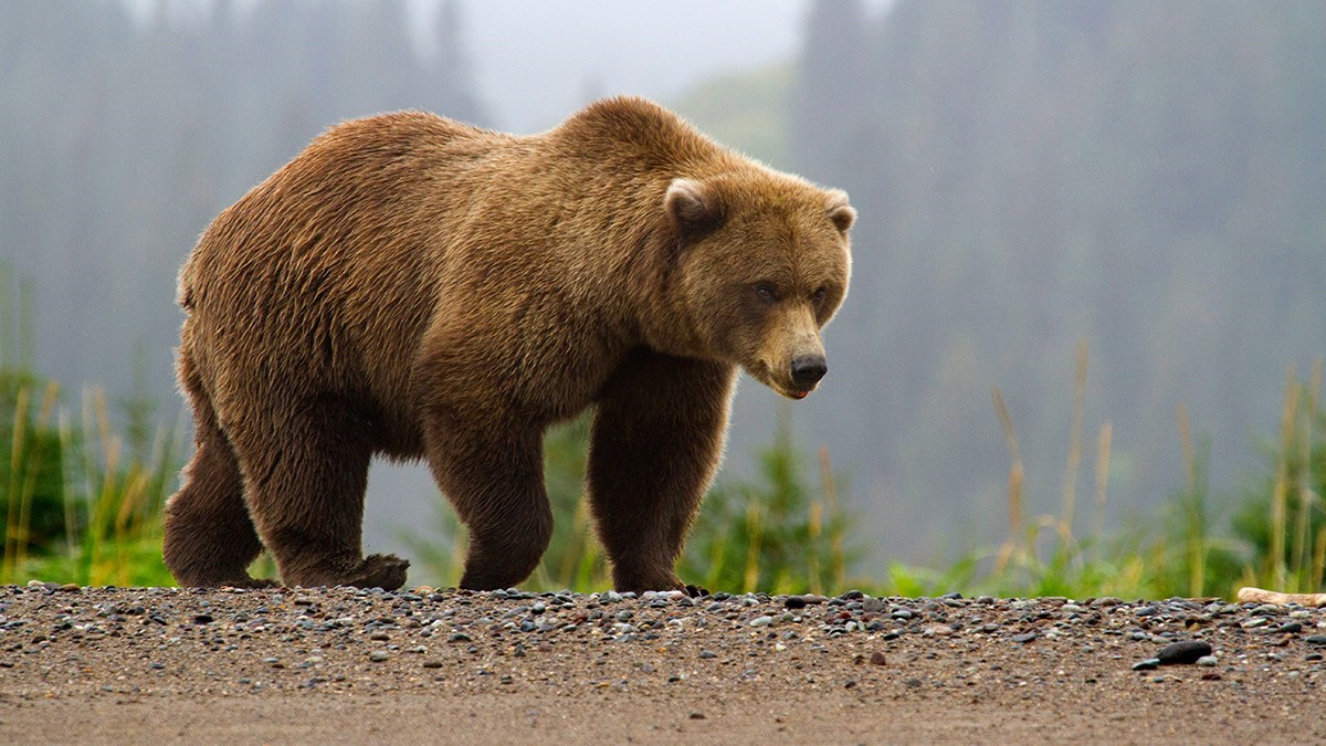
“The project is in “the watershed for the world-famous Henry’s Fork of the Snake River, and will harm grizzly bears, and log much of the remaining old-growth forest left in the Targhee National Forest,” Mike Garrity, executive director of the Alliance for the Wild Rockies, said in a statement. “And that’s why we are taking them to court to either comply with the law or drop the project.””
The Alliance for the Wild Rockies and two other grassroots groups filed a lawsuit filed Wednesday in U.S. District Court bringing multiple claims that the U.S. Forest Service violated environmental laws.
The project involves logging, prescribed burning and riparian (stream-side) dithering using bulldozers and other heavy equipment on about 66 square miles on the Caribou-Targhee National Forest in Idaho. Get this! The govt. says its needed “to maintain wildlife biodiversity with prescribed burning and logging.”
Continue reading “Yellowstone threatened by massive USFS-USDA logging/burning project”


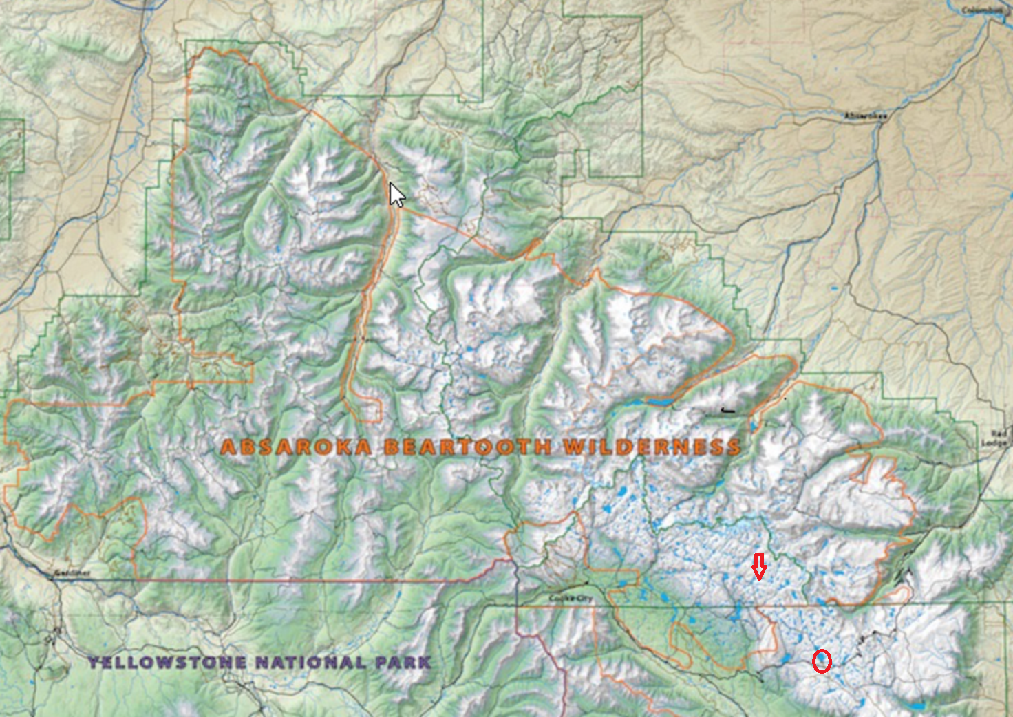 The Beartooth Mountains are part of a large wilderness complex formed in 1978, formerly known as a “primitive area,” since known as the “Absaroka Beartooth Wilderness*,” or “AB.” It sits north and northeast of Yellowstone National Park, and for most of my life has been my preferred destination over the Park. It offers solitude, miles of trails, and often enough, a private lake for backpackers. (There are 944 lakes in the complex. Many have fish in them, not my concern, but an added attraction.)
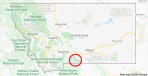 For reference, the AB is the circled area in the Montana map to the left. From the image above you can grasp the enormity of the area, and the number of lakes. From a hiking standpoint, the Beartooth Mountains are an “uplift” forming a high ice plateau. This creates many drainages and basins in which lakes naturally form. While forested, it is not heavily so. Hikers only rarely get lost, as the landscape usually shows the way out – just follow a drainage. But trails are abundant. However, leaving a trial is not in any way dangerous, as the landscape usually offers a good sense of where you are.